GIS Maps
GIS Mapping
We design, fabricate, and install a wide range of custom GIS Mapping signs and kiosks to meet the needs of your parks and outdoor spaces.
What is GIS Mapping?
A geographic information system (GIS) is a system designed to capture, store, manipulate, analyze, manage, and present all types of geographical data. Whether you are trying to design an entire park map or want to direct your visitors to a specific location, Baldwin Design Works can help you create a GIS mapping system.
By gathering basic information from you, we create a stunning informational and directional map of your park or trail. The map helps you answer questions and solve problems. We can also reproduce the map in any size for many different types of media. it can be shared easily with park goers or others interested parties.
More questions? Call us at 404.518.7688

Map Design Phase
We take your original map information or diagrams and recreate it in a digital format. Components can be changed, added to, or manipulated without disturbing other important aspects of the project. We can make the map as simple or as complex as needed.
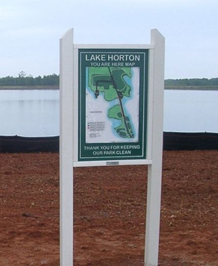
Check out the following example. The image to the left is the GIS map presented to us. Completely from scratch and to the specifications of the client, we created the user-friendly map on the right.
Check out the following example. The image to the left is the GIS map presented to us. Completely from scratch and to the specifications of the client, we created the user-friendly map on the right.


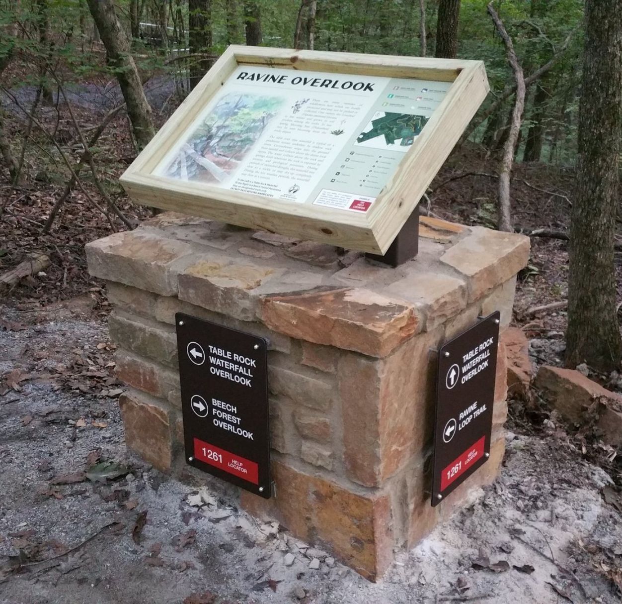
Building the Structure
If the map will be used as part of your park and trail system, we can help you create the signage and structure that will host your newly created GIS map. Just like our posts and other outdoor signage, we use recycled plastic lumber that has a 20 year warranty. We combine the highest quality materials and craftsmanship.
While your structure will require some customization, you can get a sense of the possibilities by look over our post design pages, as well as a our GIS map gallery.


- 85 Kelli Clark Court SE, Cartersville, 30121-7004 | 404.518.7688 | contact@baldwindesignworks.com